
Population 116 (2006 census) Postcode(s) 6465 Founded 1929 Postal code 6465 | Established 1929 Elevation 375 m Local time Monday 3:42 PM | |
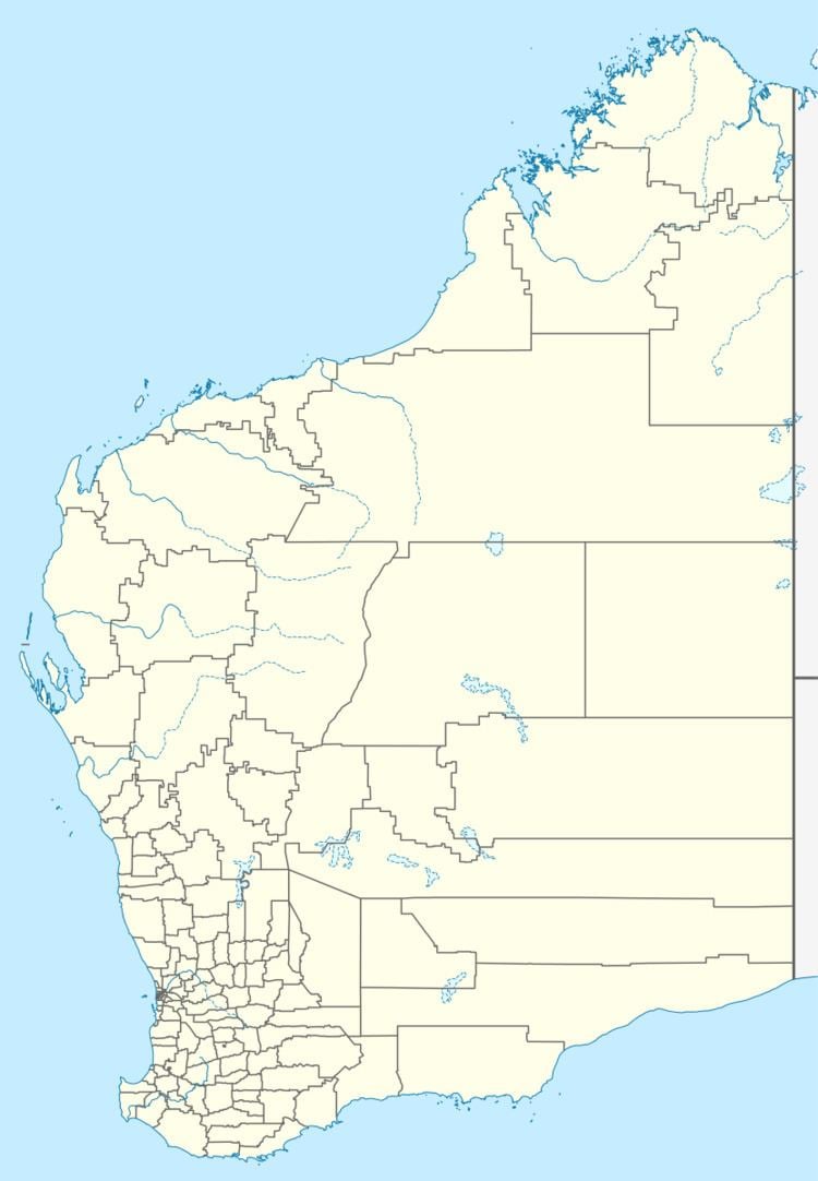 | ||
Location 170 km (106 mi) North East of Perth37 km (23 mi) East North East of Wongan Hills39 km (24 mi) North of Dowerin Weather 24°C, Wind E at 23 km/h, 33% Humidity | ||
Manmanning is a small Wheatbelt town in Western Australia.
The name of the town is an Indigenous Australian word of unknown meaning. The word first appeared on charts drawn in 1907 and was the Indigenous Australian name of a soak located close to the townsite.
The townsite was originally a railway siding on the Ejanding North line and land was set aside for settlers in 1927. The townsite was gazetted in 1929.
The surrounding areas produce wheat and other cereal crops. The town is a receival site for Cooperative Bulk Handling.
References
Manmanning, Western Australia Wikipedia(Text) CC BY-SA