
Country India Time zone IST (UTC+5:30) Vehicle registration AS Population 26,162 (2001) ISO 3166 code ISO 3166-2:IN | PIN 783131 Elevation 27 m Local time Monday 12:40 PM University Mankachar College | |
 | ||
District South Salmara Mankachar Weather 26°C, Wind SW at 8 km/h, 51% Humidity | ||
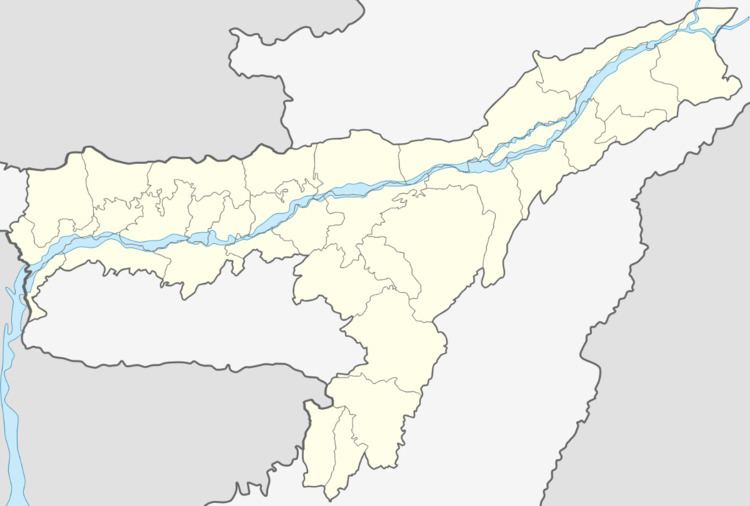
Mankachar is a census town in South Salmara-Mankachar District in the Indian state of Assam. It is situated at the extreme south-westernmost end of North-Eastern India
Contents
Map of Mankachar, Assam 783131
Geography
Mankachar is located at 25.53°N 89.87°E / 25.53; 89.87. It has an average elevation of 27 m (89 ft).
Politics
Mankachar is part of Dhubri (Lok Sabha constituency). It is the number 21 constituency of the Assam Legislative Assembly.
References
Mankachar Wikipedia(Text) CC BY-SA