Elevation 90 m Local time Monday 12:29 PM | Time zone IST (UTC+5:30) Population 14,150 (2001) | |
 | ||
Weather 31°C, Wind W at 11 km/h, 32% Humidity | ||
Manjhanpur is a town, nagar panchayat and the district headquarters of Kaushambi district in the Indian state of Uttar Pradesh.
Contents
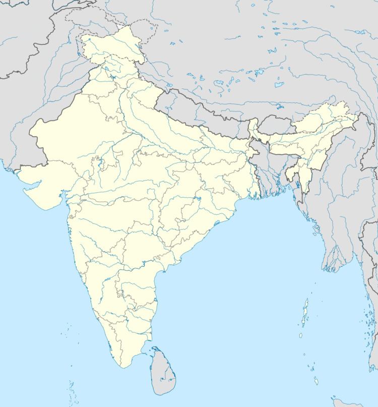
Map of Manjhanpur, Uttar Pradesh 212207
Demographics
As of 2001 India census, Manjhanpur had a population of 14,150. Males constitute 53% of the population and females 47%. Manjhanpur has an average literacy rate of 55%, lower than the national average of 59.5%: male literacy is 64%, and female literacy is 44%. In Manjhanpur, 17% of the population are under six years of age.
Places to visit
In Manjhanpur, the Dargah Shareef of Hazrat Syed Shah Ehsan Ali, known as Khanqah Ehsaniya, is a waqf, an Islamic mortmain managed by Syed Mohammad Ghufran Ali and his two children Syed Aale Mustafa and Syed Zeaul Mustafa. The Urs festival is held annually (for 3 days) and thousands of pilgrims visit the shrine from all over India and abroad. The Jain Temple at Prabhasgiri, the Kamasin Devi Temple at Gambheerapurab village, the Durga Devi Temple and the Baram Baba Temple in Selraha village are visited by their devotees. A fair is held every year during Navratri.
