Country India District Ballia Local time Monday 12:18 PM | State Uttar Pradesh Time zone IST (UTC+5:30) Population 18,750 (2001) | |
 | ||
Weather 29°C, Wind W at 10 km/h, 36% Humidity | ||
Maniyar is a town and a nagar panchayat in Ballia district in the Indian state of Uttar Pradesh.
Contents
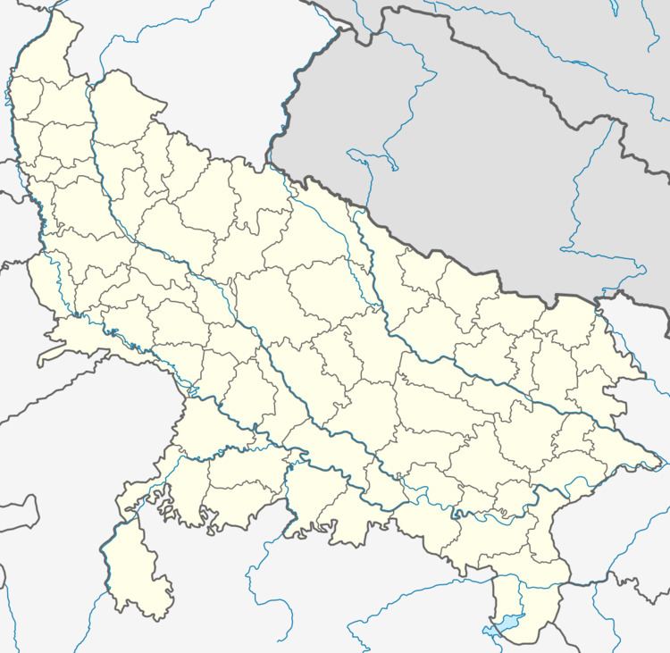
Map of Maniyar, Uttar Pradesh 277121
Demographics
As of 2001 India census, Maniyar had a population of 18,750. Males constitute 51% of the population and females 49%. Maniyar has an average literacy rate of 47%, lower than the national average of 59.5%: male literacy is 57%, and female literacy is 36%. In Maniyar, 18% of the population is under 6 years of age.
Other places with same name
Maniyar [മണിയാര്] is a village in Punalur municipality, Kollam district, Kerala. This is 3.5 km away from the nearest town, Punalur. This is the 22nd ward in Punalur municipality. Now the councilor of the ward to the municipality is Mr.Binoy Rajan (Communist Party of India (Marxist)). The economy mainly depends on agriculture. Important institutions in this place include Government upper primary school, Ashtamangalam temple, etc. The nearest important places include Karavaloor, Vilakkupara, Anchal and Punalur.
Maniyar is a village in Pathanamthitta district. It is famous for the dam with the same name. Maniyar is located on the Pathanamthitta - Seethathodu Road. Carborundum Universal-a Murugappa Group company has set up power generation plant attached to the dam. This plant has a capacity of 12 MW and extends employment to more than 40 people directly.
