
Airport type Public 14/32 3,498 Phone +1 715-543-8320 | Elevation AMSL 1,610 ft / 491 m 3,498 1,066 | |
 | ||
Address 2 Airport Rd, Manitowish Waters, WI 54545, USA Similar Manitowish Waters Town Hall, Mercer Chamber of Comm, North Lakeland Discovery, The Lodge at Manitowi, Coldwell Banker Mulleady | ||
Manitowish Waters Airport (FAA LID: D25) is a town owned public use airport located one mile (1.6 km) south of the central business district of Manitowish Waters, a town in Vilas County, Wisconsin, United States. It is included in the National Plan of Integrated Airport Systems for 2017–2021, which categorized it as a local general aviation facility.
Although most U.S. airports use the same three-letter location identifier for the FAA and IATA, this airport is assigned D25 by the FAA but has no designation from the IATA.
Facilities and aircraft
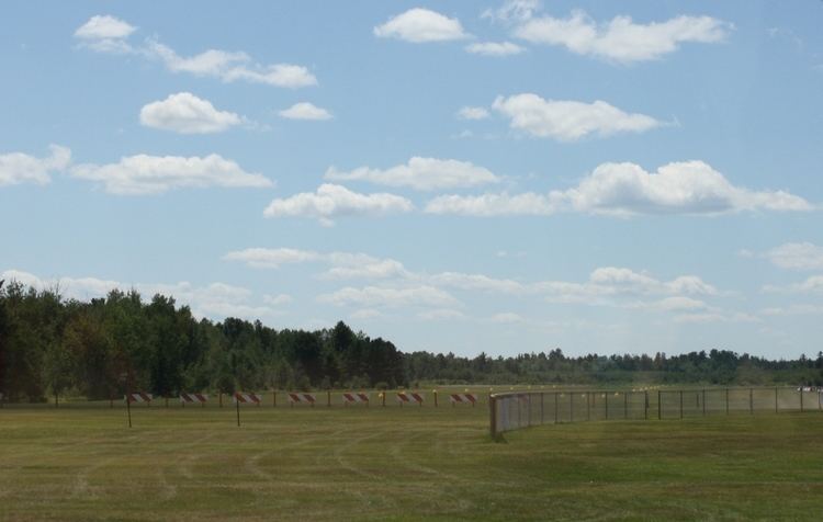
Manitowish Waters Airport covers an area of 439 acres (177 ha) at an elevation of 1610 feet (491 m) above mean sea level. It has two runways: 14/32 is 3,498 by 60 feet (1,066 x 18 m) with an asphalt surface and 4/22 is 3,094 by 120 feet (943 x 36 m) with a turf surface.
For the 12-month period ending October 6, 2015, the airport had 6,200 aircraft operations: 96% general aviation and 4% air taxi. In March 2017, there were 15 aircraft based at this airport: all 15 single-engine.