
Existed: 1959 – present Constructed 1959 | Length 22 km | |
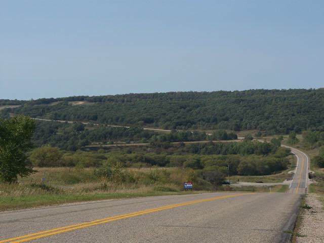 | ||
North end: PTH 3 / PR 240 near Darlingford | ||
Provincial Trunk Highway 31 (PTH 31) is a provincial highway in the Canadian province of Manitoba. It is a short highway that runs from PTH 3 to the U.S. border where it becomes North Dakota State Highway 1. The entire highway lies within the Rural Municipality of Pembina.
Contents
Map of MB-31, Darlingford, MB R0G 0L0, Canada
History
Prior to 1954, Highway 31 was the designation of the route connecting PTH 16 (then known as Highway 4) at Russell to Highway 10 at Swan River via Roblin and Benito. In 1954, the section of PTH 83 between the Trans-Canada Highway and Birtle was constructed and opened to traffic. With this addition, PTH 83 was also extended to Swan River, replacing Highway 31.
PTH 31 was designated to its current route in 1959.
References
Manitoba Highway 31 Wikipedia(Text) CC BY-SA