Archipelago Bayas Islets Highest elevation 168 ft (51.2 m) Barangay Province Iloilo Adjacent body of water Visayan Sea | Adjacent bodies of water Visayan Sea Region Western Visayas Population 412 (2010) Municipality Estancia, Iloilo | |
 | ||
Manipulon is a small island-barangay in northeastern Iloilo, Philippines. It is part of the municipality of Estancia. According to the 2010 census, it has a population of 412 among 91 households.
Contents
Map of Manipulon Island, Estancia, Philippines
Location and geography
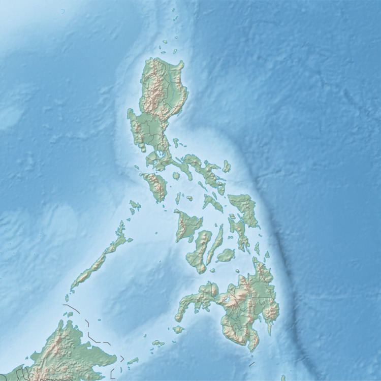
Manipulon Island is located east of Panay Island in the Visayan Sea. Nearby islands include Bayas Island to the east, Magusipol Island to the west, and Loguingot Island to the north. Manipulon and Bayas are separated by a small shallow channel. Along with Bayas and Pangalan Island, Manipulon is historically part of the Bayas Islets. The highest point of Manipulon is 168 feet (51 m). Its sole barangay is Manipulon.
Typhoon Haiyan
Typhoon Haiyan (locally known as Yolanda) passed over Manipulon Island in November 2013 and caused heavy damage. The roof of the island's small chapel was blown away by massive winds. It was later repaired through a donation by a Philippine company, Copylandia Office Systems Corporation. The same company also donated 20 fishing boats to replace the island's decimated fishing fleet. In addition, a Southern California man donated Php134,000 for the purchase of another 8 fishing boats for residents who had lost theirs in the storm. NGO Christian Aid also provided food distribution.
