
Population 19,804 (2011) | Time zone IST (UTC+5:30) Vehicle registration WB Local time Monday 10:13 AM | |
 | ||
Weather 24°C, Wind NE at 14 km/h, 71% Humidity | ||
Manikpur is a census town in Sankrail CD Block under Sankrail police station in Sadar subdivision of Howrah district in the Indian state of West Bengal.
Contents
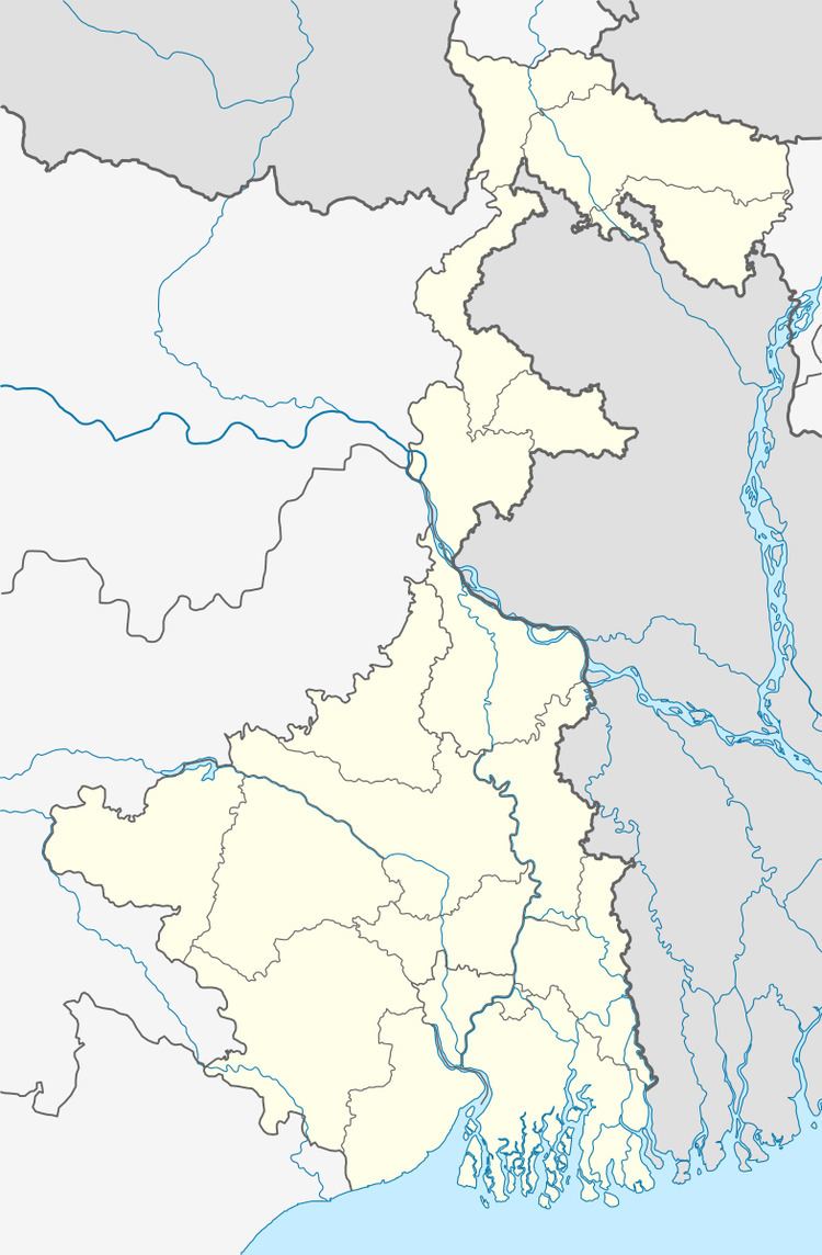
Map of Manikpur, Kulgachia, Howrah, West Bengal
Geography
Manikpur is located at 22.47°N 88.03°E / 22.47; 88.03.
Demographics
As per 2011 Census of India Manikpur had a total population of 19,804 of which 10,392 (52%) were males and 9,412 (48%) were females. Population below 6 years was 2,253. The total number of literates in Manikpur was 13,378 (76.22 % of the population over 6 years).
Manikpur was part of Kolkata Urban Agglomeration in 2011 census.
As of 2001 India census, Manikpur had a population of 19,125. Males constitute 55% of the population and females 45%. Manikpur has an average literacy rate of 61%, higher than the national average of 59.5%: male literacy is 67%, and female literacy is 54%. In Manikpur, 12% of the population is under 6 years of age.