
Time zone EET (UTC+2) Elevation 222 m | Established 1577 Postal code 30086 | |
 | ||
Domaine tomali maniatyn sutton qu bec
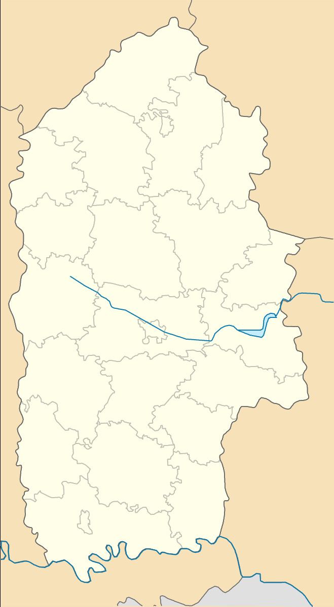
Maniatyn (Ukrainian: Маня́тин) – a small village in the Slavuta Raion (district) of the Khmelnytskyi Oblast (province) in Ukraine, that is located in the north of Khmelnytskyi Oblast, on the border from the Zhytomyr Oblast.
Area of the village is only 1,91 km2, and the population of the village is about 520 people. Local government is administered by Maniatynska village council.
Contents
- Domaine tomali maniatyn sutton qu bec
- Map of Maniatyn Manyatyn Khmelnytska Ukraine
- Le domaine tomali maniatyn b b sutton qc canada
- Geography
- History
- Literature
- References
Map of Maniatyn, Manyatyn, Khmelnytska, Ukraine
Le domaine tomali maniatyn b b sutton qc canada
Geography
The village is located at a distance of 31 kilometres (19 mi) from the highway in European route E40 E 40 connecting Lviv with Kiev (the road to the nearest town Korets). Distance from the regional center of Khmelnytskyi is 147 kilometres (91 mi) and 46 kilometres (29 mi) from the district center of Slavuta.
History
The village Maniatyn was first mentioned in 1577 as property Konstanty Wasyl Ostrogski. After World War I the village was part of the Ukrainian People's Republic (1917 - 1919). After the 1919 of Treaty of Versailles and by 1991 – in composition of USSR.