
Time zone IST (UTC+5:30) | Elevation 128 m (420 ft) | |
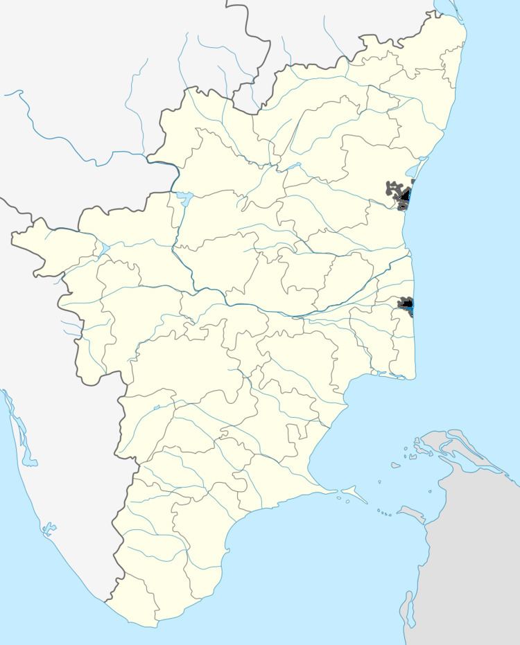 | ||
Mangudi is a panchayat town in Pudukkottai district in the state of Tamil Nadu, India.
Contents
- Map of Mangudi Tamil Nadu
- Geography
- Demographics
- Schools in Annavasal
- Agriculture Office
- Hospitals
- References
Map of Mangudi, Tamil Nadu
Geography
Annavasal is located at 10.47°N 78.7°E / 10.47; 78.7. It has an average elevation of 128 metres (419 feet).
Demographics
As of 2001 India census, Mangudi had a population of 1574. Males constitute 47% of the population and females 54%. Annavasal has an average literacy rate of 64%, higher than the national average of 59.5%; with 55% of the males and 45% of females literate. 14% of the population is under 6 years of age.
Schools in Annavasal
1. Government Primary School mangudi
2. Government High School
Agriculture Office
1.M.SWAMINATHAN RESEARCH OFFICE CHITHANAVASAL ROAD, ANNAVASAL.
Hospitals
Government Hospital - mangudi
References
Mangudi-pudukottai Wikipedia(Text) CC BY-SA