
Country India Vehicle registration MP Population 11,556 (2001) ISO 3166 code ISO 3166-2:IN | Time zone IST (UTC+5:30) Elevation 305 m Local time Monday 7:04 AM | |
 | ||
Weather 18°C, Wind W at 2 km/h, 69% Humidity | ||
⟨⟩
Contents
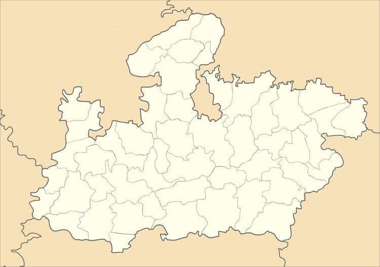
Map of Mangawan, Madhya Pradesh
Mangawan is a town and a nagar panchayat in Rewa district in the Indian state of Madhya Pradesh. It is 30 km (19 mi) from District headquarters of Rewa. NH 7 and NH 27 goes through Mangawan. Allahabad is 96 km (60 mi) on NH 27 and Varanasi is 220 km (140 mi) on NH 7.
Geography
Mangawan is located at 24.68°N 81.55°E / 24.68; 81.55. It has an average elevation of 305 metres (1000 feet).
Demographics
As of 2001 India census, Mangawan had a population of 11,556. Males constitute 53% of the population and females 47%. Mangawan has an average literacy rate of 57%, lower than the national average of 59.5%: male literacy is 68%, and female literacy is 45%. In Mangawan, 18% of the population is under 6 years of age.
References
Mangawan Wikipedia(Text) CC BY-SA