
Local time Monday 2:32 PM | ||
 | ||
Weather 21°C, Wind W at 16 km/h, 62% Humidity | ||
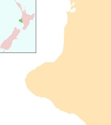
Mangatoki is a locality in southern Taranaki, in New Zealand's North Island. Eltham is to the east, Kaponga to the west and Matapu to the south. The Mangatoki Stream runs from Mount Taranaki/Egmont through the area and into the Waingongoro River.
Contents
Map of Mangatoki, New Zealand
Education
Te Kura o Nga Ruahine Rangi is a coeducational composite (years 1-15) school with a decile rating of 3 and a roll of 71. It started as a private school in Awatuna about 1996. At the beginning of 2008 it moved to the grounds of the former Mangatoki School and became a fully funded state school with "special character" status.
Mangatoki School was a primary school which opened in 1891 and closed in 2005.
References
Mangatoki Wikipedia(Text) CC BY-SA