
Elevation 1,092 m Population 8,000 (2001) | Time zone EAT (UTC3) Local time Monday 4:27 AM | |
 | ||
Weather 18°C, Wind E at 13 km/h, 86% Humidity | ||
Mangataboahangy is a town and commune in Madagascar. It belongs to the district of Ambatofinandrahana, which is a part of Amoron'i Mania Region. The population of the commune was estimated to be approximately 8,000 in 2001 commune census.
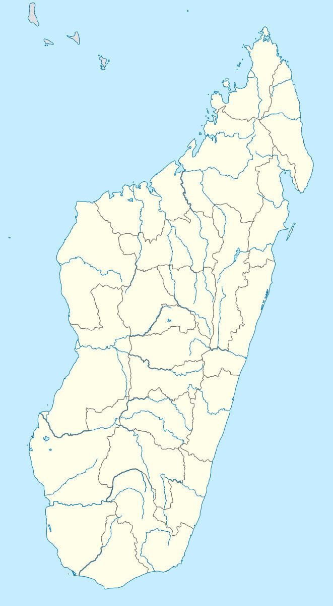
Map of Mangataboahangy, Madagascar
Only primary schooling is available. It is also a site of industrial-scale mining. The majority 95% of the population of the commune are farmers. The most important crop is rice, while other important products are peanuts, beans, maize and cassava. Services provide employment for 5% of the population.
References
Mangataboahangy Wikipedia(Text) CC BY-SA