
Time zone IST (UTC+5:30) Elevation 23 m Population 4,534 (2011) | PIN 601202 Local time Monday 5:41 AM | |
 | ||
Weather 27°C, Wind S at 11 km/h, 89% Humidity | ||
Manellore school shoe donation
Manellore is a village in the Tiruvallur district of Tamil Nadu, India. It is located in the Gummidipoondi taluk.
Contents
- Manellore school shoe donation
- Map of Manellore Tamil Nadu 601202
- Demographics
- Transport
- Education
- List of Panchayat Presidents
- References
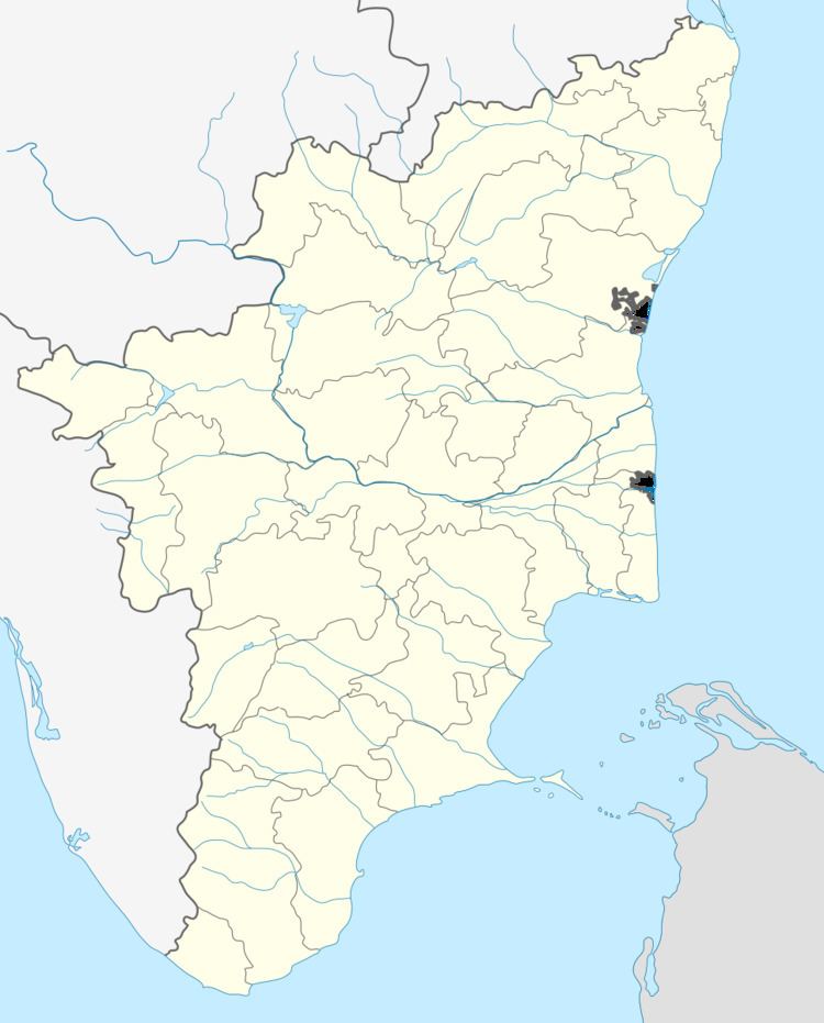
Map of Manellore, Tamil Nadu 601202
It was formerly known as Manyalavur. Manellore's economy has a broad agriculture & handloom base.
Demographics
According to the 2011 census of India, Manellore has 1203 households. The effective literacy rate (i.e. the literacy rate of population excluding children aged 6 and below) is 74.2%.
Transport
There is no direct public bus transport available.
Distance from major places:
Andhra Pradesh
Education
Primary schools:
Secondary schools:
List of Panchayat Presidents
References
Manellore Wikipedia(Text) CC BY-SA