
Opening date 1957 Height 28.4 m (93 ft) Opened 1957 | Impounds Kalte Bode Length 224 m (735 ft) Construction began 1952 | |
 | ||
Similar Königshütte Dam, Rappbode Auxiliary Dam, Hassel Auxiliary Dam, Wendefurth Dam, Zillierbach Dam | ||
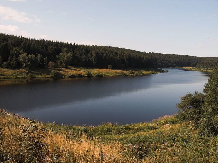
The Mandelholz Dam (German: Mandelholztalsperre) holds back the Kalte Bode Flood Control Basin (Hochwasserschutzbecken Kalte Bode) which is a flood protection reservoir located between the villages of Elend and Königshütte near Wernigerode in the Harz mountains of Germany. It impounds the waters of the Kalte Bode when water levels are high.
Map of Mandelholz Dam, 38875 Elbingerode (Harz), Germany
The dam was built from 1952 to 1957 and consists of an earth-fill dam with integrated concrete inspection walkway. In order to protect the crest from overspill, a spillway has been constructed south of it to handle excess water. The last time the dam was overspilled due to high water was in 1994.
The height of the dam is variously given as 26 m (probably height above valley floor) or 28.4 m (probably structural height).
Near Mandelholz on the Wormke (to the rear of the Mandelholz Dam) are the ruins of an older dam that supplied the Mandelholz Iron Works with water from 1612. Catastrophic flooding in 1855 destroyed the dam and it was not rebuilt.
The name Mandelholz as a place name may be derived from the spruce forests in the area, because spruce trees used to be called Mandel in German.