
Country State | Language spoken District East Godavari | |
 | ||
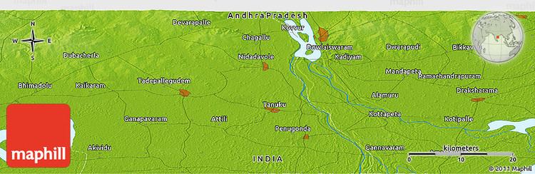
Map of Mandapeta
Mandapeta is a town and municipality in East Godavari district in the India state of Andhra Pradesh. It is famous for rice mills and for many famous leaders.
Contents
Mandapeta arial view
Geography
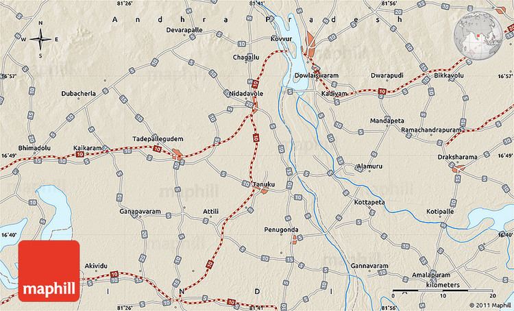
Mandapeta is located at 16.52°N 81.56°E / 16.52; 81.56. It has an average elevation of 16 metres (52 feet).
Demographics
As of 2001 India census, Mandapeta had a population of 55555.Males constitute 50% of the population and females 50%. Mandapeta had average literacy of 62%, higher than the national average of 59.5%: male literacy is 65% and female literacy is 65%. In Mandapeta, 11% of the population is under 6 years of age.
Education
The primary and secondary school education is imparted by government, aided and private schools, under the School Education Department of the state. The medium of instruction followed by different schools are English, Telugu.