
Average Temperature 23.5 °C (74.3 °F) Area 406.6 km² | City 1997 (1997) Elevation 570 m Population 18,093 (2009) | |
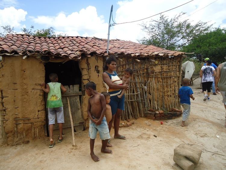 | ||
Manari is a city established in 1997 in the state of Pernambuco, Brazil. The population in 2009, according to the Brazilian Institute of Geography and Statistics, was 18093 and the area is 406.64 km². In 2000, Manari had the lowest HDI of any municipality in the state.
Contents
Map of Manari, State of Pernambuco, Brazil
Geography
Economy
The main economic activities in Manari are based in agribusiness, especially the raising of sheep, goats, cattle, and plantations of corn, beans and manioc.
Economic indicators
Economy by sector (2006)
References
Manari, Pernambuco Wikipedia(Text) CC BY-SA