
Country Madagascar District Antsirabe II Elevation 1,605 m Population 10,000 (2001) | Region Vakinankaratra Time zone EAT (UTC3) Local time Sunday 10:04 PM | |
 | ||
Weather 17°C, Wind E at 5 km/h, 94% Humidity | ||
02 madagascar walk around the vicinity of manandoana
Manandoana is a town and commune in Madagascar. It belongs to the district of Antsirabe II, which is a part of Vakinankaratra Region. The population of the commune was estimated to be approximately 10,000 in 2001 commune census.
Contents
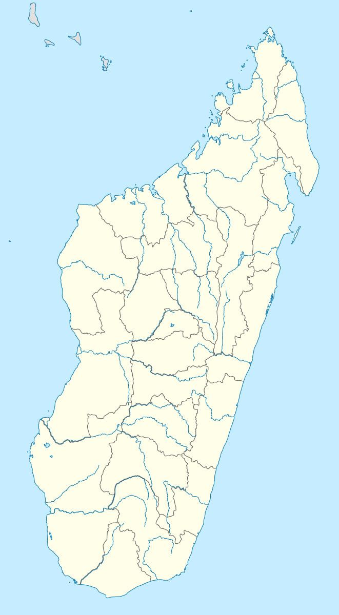
Map of Manandoana, Madagascar
Primary and junior level secondary education are available in town. The majority 90% of the population of the commune are farmers, while an additional 10% receives their livelihood from raising livestock. The most important crops are rice and barley, while other important agricultural products are wheat and potatoes.
References
Manandoana Wikipedia(Text) CC BY-SA