
Country Ecuador Time zone ECT (UTC-5) Website www.manabi.gob.ec | Established June 25, 1824. Vehicle registration M Area 18,940 km² Population 1.37 million (2010) | |
 | ||
Points of interest Machalilla National Park, Isla de la Plata, El Murcielago, Los Frailes Beach, Jardin Botanico Destinations | ||
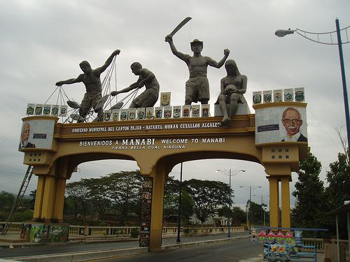
Manabí ([manaˈβi]) is a province in Ecuador. Its capital is Portoviejo. The province is named after the Manabí people.
Contents
Map of Manab%C3%AD, Ecuador
Demographics
Ethnic groups as of the Ecuadorian census of 2010:
Economy
Manabí's economy is based heavily on natural resources an organic products these include cacao, bananas, noble woods, cotton and seafood. Its industrial sector is based on Tuna, great quality tobacco, and agua ardiente (Spanish brandy) beverage production. Local productions include crafting of Montecristi hats(i.e. Panama Hats), and furniture(rattan).
Cantons
The province is divided into 22 cantons. The following table lists each with its population at the 2001 census, its area in square kilometers (km²), and the name of the canton seat or capital.
References
Manabí Province Wikipedia(Text) CC BY-SA