
Country India District Adilabad Vehicle registration TS-01 Elevation 348 m | State Telangana Time zone IST (UTC+5:30) Website telangana.gov.in Local time Sunday 8:19 PM | |
 | ||
Weather 29°C, Wind N at 6 km/h, 33% Humidity | ||
Mamda is a village and a Mandal in Adilabad district in the state of Telangana in India.
Contents
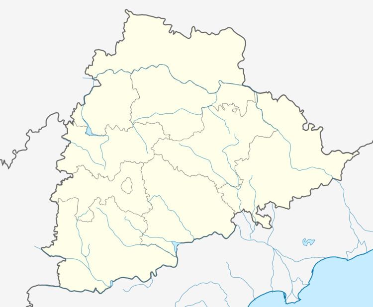
Map of Mamda, Telangana 504310
Geography
Mamda is located at 19.1000°N 78.5333°E / 19.1000; 78.5333. It has an average elevation of 348 meters (1145 feet).
Demographics
According to Indian census, 2001, the demographic details of Mamda mandal is as follows:
Mamda village has a population of 4,344 in 2001.
Villages
The villages in Mamda mandal include: Ananthpet, Rayadhari, Dimmadurthy, Gayadpalle, Kamalkot, Kishanraopet, Koratikal, Mamda, Naldurthy, New Sangvi, Parimandal, Ponkal, Potharam and Tandra.
References
Mamda Wikipedia(Text) CC BY-SA