
 | ||
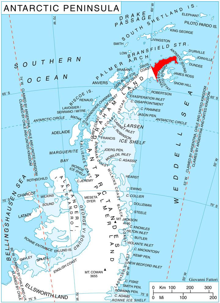
Malorad Glacier (Bulgarian: ледник Малорад, ‘Lednik Malorad’ \'led-nik 'ma-lo-rad) is the 14 km long and 10.5 km wide glacier on Trinity Peninsula, Antarctic Peninsula. Situated north of Russell West Glacier, and bounded by Marescot Ridge to the northeast, Louis-Philippe Plateau to the southeast, Srednogorie Heights to the south and Hanson Hill to the southwest. Draining northwestwards to enter Bransfield Strait east of Cape Roquemaurel and west of Thanaron Point.
Contents
Map of Malorad Glacier, Antarctica
The glacier is named after the settlement of Malorad in northwestern Bulgaria.
Location
Malorad Glacier is located at 63°34′00″S 58°43′00″W. German-British mapping in 1996.
Maps
References
Malorad Glacier Wikipedia(Text) CC BY-SA