
Rural localities 14 Area 1,365 km² | Urban settlements 0 Founded 1922 | |
 | ||
Federal subject Karachay-Cherkess Republic Municipally incorporated as | ||
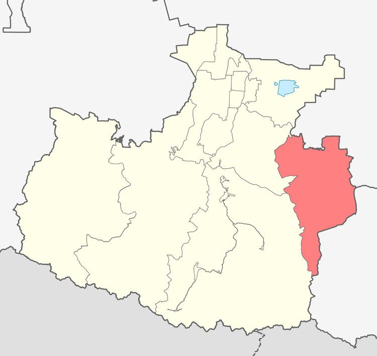
Malokarachayevsky District (Russian: Малокарача́евский райо́н; Karachay-Balkar: Гитче Къарачай район; Kabardian: Къэрэшей цӏыкӏу къедзыгъуэ) is an administrative and a municipal district (raion), one of the ten in the Karachay-Cherkess Republic, Russia. It is located in the east of the republic. The area of the district is 1,365 square kilometers (527 sq mi). Its administrative center is the rural locality (a selo) of Uchkeken. As of the 2010 Census, the total population of the district was 43,318, with the population of Uchkeken accounting for 38.1% of that number.
Contents
- Map of Malokarachayevsky District Karachay Cherkessia Russia
- Administrative and municipal status
- References
Map of Malokarachayevsky District, Karachay-Cherkessia, Russia
Administrative and municipal status
Within the framework of administrative divisions, Malokarachayevsky District is one of the ten in the Karachay-Cherkess Republic and has administrative jurisdiction over all of its fourteen rural localities. As a municipal division, the district is incorporated as Malokarachayevsky Municipal District. Its fourteen rural localities are incorporated into ten rural settlements within the municipal district. The selo of Uchkeken serves as the administrative center of both the administrative and municipal district.