
Rural localities 10 | Federal subject Republic of Kalmykia Rural administrations 6 Area 3,666 km² | |
 | ||
Municipally incorporated as | ||
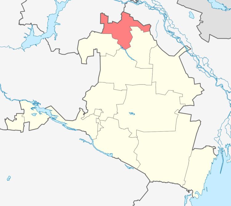
Maloderbetovsky District (Russian: Малодербе́товский райо́н; Kalmyk: Баһ Дөрвдә район) is an administrative and municipal district (raion), one of the thirteen in the Republic of Kalmykia, Russia. It is located in the north of the republic. The area of the district is 3,665.93 square kilometers (1,415.42 sq mi). Its administrative center is the rural locality (a selo) of Malye Derbety. As of the 2010 Census, the total population of the district was 10,528, with the population of Malye Derbety accounting for 61.1% of that number.
Contents
- Map of Maloderbetovsky District Kalmykia Russia
- History
- Administrative and municipal status
- Rabid wolves
- References
Map of Maloderbetovsky District, Kalmykia, Russia
History
The district was established on December 11,1970.
Administrative and municipal status
Within the framework of administrative divisions, Maloderbetovsky District is one of the thirteen in the Republic of Kalmykia. The district is divided into six rural administrations which comprise ten rural localities. As a municipal division, the district is incorporated as Maloderbetovsky Municipal District. Its six rural administrations are incorporated as six rural settlements within the municipal district. The selo of Malye Derbety serves as the administrative center of both the administrative and municipal district.
Rabid wolves
In 2003, rabid wolves were reported in the district.