Town of district significance Maloarkhangelsk | Local time Sunday 1:13 PM | |
 | ||
Administrative center of Maloarkhangelsky District, town of district significance of Maloarkhangelsk Municipal district Maloarkhangelsky Municipal District Weather 2°C, Wind SE at 14 km/h, 89% Humidity | ||
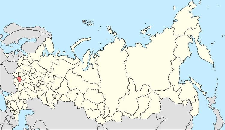
Maloarkhangelsk (Russian: Малоарха́нгельск) is a town and the administrative center of Maloarkhangelsky District in Oryol Oblast, Russia, located 82 kilometers (51 mi) south of Oryol, the administrative center of the oblast. Population: 3,620 (2010 Census); 3,962 (2002 Census); 4,294 (1989 Census).
Contents
- Map of Maloarkhangelsk Oryol Oblast Russia 303370
- History
- Administrative and municipal status
- References
Map of Maloarkhangelsk, Oryol Oblast, Russia, 303370
History
The village of Arkhangelskoye (Арх́ангельское), which was established in the 17th century, was granted town status in 1778 and renamed Maly Arkhangelsky (Ма́лый Арха́нгельский). Later, the name transformed into "Maloarkhangelsk". During World War II, the town was occupied by the German Army from November 11, 1941 to February 23, 1943.
Administrative and municipal status
Within the framework of administrative divisions, Maloarkhangelsk serves as the administrative center of Maloarkhangelsky District. As an administrative division, it is incorporated within Maloarkhangelsky District as the town of district significance of Maloarkhangelsk. As a municipal division, the town of district significance of Maloarkhangelsk is incorporated within Maloarkhangelsky Municipal District as Maloarkhangelsk Urban Settlement.
