
Elevation 360 m Local time Sunday 4:24 AM | GNIS feature ID 0468336 Area 93.19 km² Population 391 (2010) | |
 | ||
Weather -3°C, Wind E at 5 km/h, 87% Humidity | ||
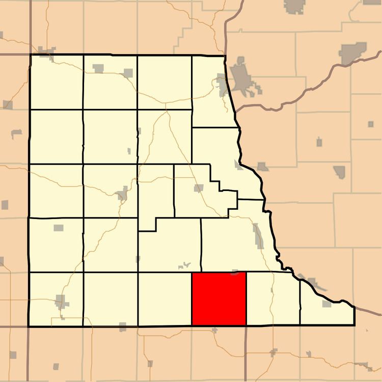
Mallory Township is a township in Clayton County, Iowa, USA. As of the 2010 census, its population was 395, down from 411 ten years earlier.
Contents
Map of Mallory, IA, USA
Geography
Mallory Township covers an area of 35.98 square miles (93.2 km2) and contains one incorporated settlement, Osterdock. According to the USGS, it contains seven cemeteries: Bethel, Bolsinger, Brown, Hansel, King, Koenig and Noggle.
The streams of Joles Creek, Mill Creek and Peck Creek run through this township.
References
Mallory Township, Clayton County, Iowa Wikipedia(Text) CC BY-SA