
Country Philippines Time zone PST (UTC+8) Area 133.4 km² Province Isabela | Barangays ZIP code 3323 Local time Sunday 5:08 PM University Mallig Plains Colleges | |
 | ||
Region Cagayan Valley (Region II) District 5th District of Isabela Weather 29°C, Wind SE at 10 km/h, 59% Humidity | ||
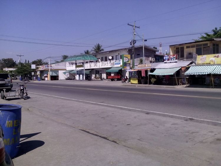
Mallig is a 4th class municipality in the province of Isabela, Philippines. According to the 2015 census, it has a population of 30,459 people.
Contents
Map of Mallig, Isabela, Philippines
Barangays
Mallig is politically subdivided into 18 barangays.
Vision
Mallig envisions becoming a progressive community with productive, sustainable economy and a God-Loving Malligueños.
Mission
The Local Government Unit of Mallig shall provide the delivery of basic services - social and economic with utmost dedication through high technologies, well sustained economy and competent, responsibly and professional public servants.
History
The municipality of Mallig was named after the Mallig river that traverses it. It was created by virtue of RA 678 authored by congressman Samuel F. Reyes. The act was approved on April 8, 1953 with the former barrio Olango as the seat of government. As separate municipality, the territorial domain of Mallig included in the north, barrios of Tumauini in the midsection, barrios of Ilagan; and in the south, barrios of Gamu - all in the province of Isabela.
In 1929, the late President Manuel L. Quezon declared the westernmost part of the province as a resettlement area, historically known as the Mallig Plains Resettlement Area. From then on, the influx of settlers from the Central Plains and the Ilocos Region encouraged more other settlers to migrate westward in these Kalinga-dominated plains.
Mallig was never a ready haven and abode for the migrants at the beginning, particularly because of the hostile and repulsive culture of the natives that formerly dominated the are, and also because of the occurrence of endemic malaria. It took the settlers gradual adaptation and acclimatization before they finally convinced their relatives and other migrants to settle permanently.
Mallig was formed into a town in 1952. The territory comprising Mallig was taken from different neighboring towns:
Geography
Mallig is bounded by the towns of Paracelis, Mt. Province on its western limits, Quezon, Isabela on its northern limits, Roxas, Isabela on its southern limits and by both Delfin Albano and Quirino, Isabela on its eastern limits. It is municipality within the Division/Province of Isabela in the region of Cagayan Valley.
Its main gateway is the Santiago-Tuguegarao road which is a part of the national highway. The Ilagan-Delfin Albano-Mallig road, a provincial road, also serves as an important point of entry to Mallig.
It is also an agricultural town mainly composed of agricultural farms such as rice fields and corn fields which makes its rural landscape.
Climate
The climate in Mallig is tropical. Mallig has significant rainfall most months, with a short dry season. This location is classified as Am by Köppen and Geiger. The temperature here averages 27.0 °C. The average annual rainfall is 1784 mm.