
Local time Sunday 2:38 AM | ||
 | ||
Weather 0°C, Wind W at 27 km/h, 83% Humidity | ||
Mallaig is a settlement in Alberta, Canada within the County of St. Paul No. 19. It is located approximately 200 kilometres (120 mi) northeast of Edmonton.
Contents
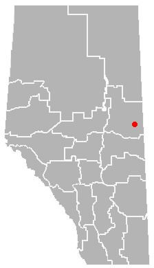
Map of Mallaig, AB, Canada
The hamlet was one of the many communities that spawned due to the construction of the railroad in Western Canada during the early 1900s. In 1928, the hamlet was officially founded. The name was inspired by one of the Scottish workers. The many swamps and low-lying areas in the area reminded him of his home town (Mallaig, Scotland).
As the 20th century progressed, the railway has been removed, and has been replaced by the Iron Horse Trail, which is a long, recreational trail intended for all-terrain vehicles. The hamlet today is quite small, containing minimal services, a landfill, and a school (kindergarten to grade 12) with an enrollment of 246 students from the hamlet and surrounding area.
Demographics
As a designated place in the 2016 Census of Population conducted by Statistics Canada, Mallaig recorded a population of 207 living in 70 of its 76 total private dwellings, a change of 7001197000000000000♠19.7% from its 2011 population of 173. With a land area of 0.6 km2 (0.23 sq mi), it had a population density of 345.0/km2 (893.5/sq mi) in 2016.
As a designated place in the 2011 Census, Mallaig had a population of 173 living in 62 of its 67 total dwellings, a -26.1% change from its 2006 population of 234. With a land area of 0.71 km2 (0.27 sq mi), it had a population density of 243.7/km2 (631/sq mi) in 2011.