
Occupation Southern Front | Time zone EET (UTC+2) | |
 | ||
Weather 14°C, Wind W at 11 km/h, 67% Humidity | ||
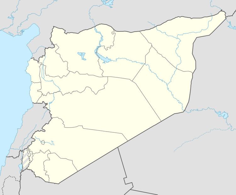
Maliha al-Atash (Arabic: مليحة العطش, also spelled Melihet el-Atash, Melihet al-Hariri or Maliha al-Shamaliyya) is a village in southern Syria, part of the Daraa Governorate situated in the Hauran plain. It is located northeast of Daraa and nearby localities include Izra to the northwest, Busra al-Harir to the northeast, Nahitah and al-Maliha al-Gharbiya to the southeast, al-Hirak to the south, al-Surah to the southwest, Namer and Qarfa to the west. In the 2004 census by the Central Bureau of Statistics (CBS) Maliha al-Atash had a population of 3,150.
References
Maliha al-Atash Wikipedia(Text) CC BY-SA