
Local time Sunday 4:56 AM | ||
 | ||
Municipal district Drozhzhanovsky Municipal District Rural settlement Malotsilninskoye Rural Settlement Administrative center of Malotsilninskoye Rural Settlement Weather -2°C, Wind SE at 19 km/h, 90% Humidity | ||
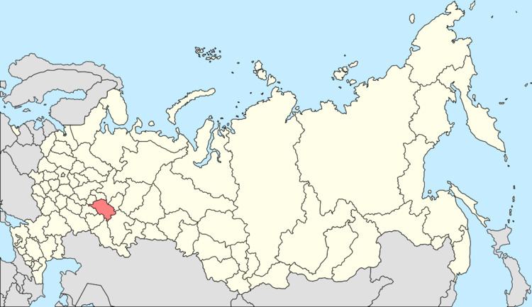
Malaya Tsilna (Russian: Малая Цильна; Tatar: Кече Чынлы) is a rural locality (a selo) in Drozhzhanovsky District of the Republic of Tatarstan, Russia, located on the Malaya Tsilna River. Population: 1,407.
Contents
Map of Malaya Tsilna, Republic of Tatarstan, Russia, 422463
Geography
The total farmland area is 6,405 hectares (15,830 acres), including 5,423 hectares (13,400 acres) of arable land.
Education and culture
There is a secondary school in Malaya Tsilna. It was founded in 1925 as a four-year elementary school, became a junior high school in 1931, and a secondary school in 1972.
There is also a House of Culture which can seat 350.
References
Malaya Tsilna, Republic of Tatarstan Wikipedia(Text) CC BY-SA