
Time zone PST (UTC+8) Area 295.6 km² Area code 2 | ZIP code 1444 Local time Sunday 8:44 AM | |
 | ||
Region National Capital Region Weather 29°C, Wind E at 13 km/h, 58% Humidity Restaurants Jollibee Malanday, Goodies Pares, Kabayan Pares & Soup#5, Dada's Eatery, Mang Bok's Manok | ||
Malanday is a settlement and one of the constituent barangays in the city of Valenzuela, Metro Manila, Philippines. The name Malanday is said to derive from a phrase meaning 'a bowl plate' in the Filipino language.
Contents
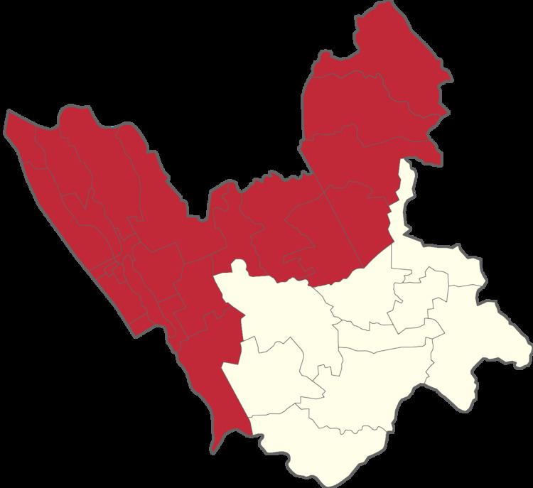
Map of Malanday, Valenzuela, Philippines
Festivals
Residents celebrate the annual fiesta of Sto. Kristo on the last Sunday of April.
Landmarks
Landmarks include Red Ribbon, located on McArthur Highway, Jollibee Malanday, Puregold Malanday, and Ever Supermarket. Andres Fernando Elementary School (AFES) Malanday National High School and the 3S Centers are located on M.H. Del Pilar St. Other known landmarks in Malanday include the Andres Fernando Elementary School, Malanday Market, the Malanday Bus Terminal, the VSCA Cock Fighting Arena and the Hearts of Jesus and Mary Parish.
Calamity
In 2012, Malanday experienced intense flooding brought by heavy rains. As of August 5, 2012, about 200 families were residing in city evacuation centers.
On December 11, 2015, at 11 pm, a fire occurred on the roads of Sitio Lingahan, Malanday. The fire blazed through more than 200 houses. One man was found dead in a nearby pond after the fire. The families first evacuated to the Hearts of Jesus and Mary Parish, but they moved to Malanday National High School after finding relief there.