
Time zone PST (UTC+5) Local time Sunday 3:44 AM | Province Punjab Elevation 135 m | |
 | ||
Weather 18°C, Wind N at 6 km/h, 61% Humidity | ||
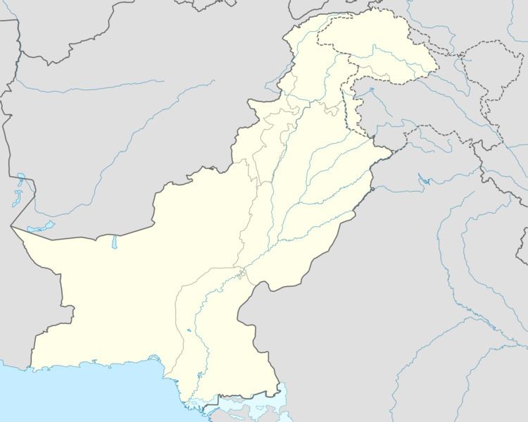
Makwal Kalan is a town and union council in the Taunsa Tehsil subdivision of Dera Ghazi Khan District in the Punjab province of Pakistan. It is located at 30°35'00N 70°44'00E and has an altitude of 135 metres (443 ft).
Map of Makw%C4%81l Kal%C4%81n, Pakistan
Makwal Kalan is 69 km from Dera Ghazi Khan and located 4 km away from the geographical centre of Pakistan, close to the Sulaiman Mountains and Taunsa Barrage.
The major tribe in the town is the Nutkani. Its fertile agricultural lands produce many different crops.
During the floods in 2010 flood people from the town hosted many flood victims.
References
Makwal Kalan Wikipedia(Text) CC BY-SA