
Area 74.88 km² Local time Sunday 7:38 AM | Population 24,126 (Apr 2008) Number of airports 1 | |
 | ||
Time zone Japan Standard Time (UTC+9) Website www.city.makurazaki.kagoshima.jp Weather 12°C, Wind NE at 14 km/h, 88% Humidity | ||
Makurazaki (枕崎市, Makurazaki-shi) is a city located in Kagoshima Prefecture, Japan. The city was founded on September 1, 1949.
Contents
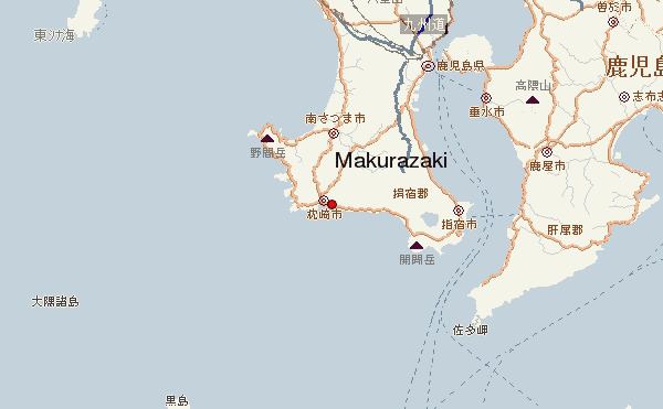
Map of Makurazaki, Kagoshima Prefecture, Japan
As of 2008, the city has an estimated population of 24,126 and a population density of 322 persons per km². The total area is 74.88 km².
It is famous for its katsuobushi processing plants, which produce the chief flavoring ingredient—dried fish flakes—found in Japanese miso soup. About 70 small family businesses year-round boil, cut, dry and smoke the pungent fish, often sending a unique odor of steam, smoke and fish scent across the downtown area and out to sea.
Makurazaki is the site of the terminus of the southernmost JR train line in Japan. Japanese know the town as the Typhoon Ginza (after Ginza in Tokyo). Each summer many cyclones strike the main islands first in the area of Makurazaki.
Climate
Makurazaki has a humid subtropical climate (Köppen climate classification Cfa) with hot summers and mild winters. Precipitation is high throughout the year, and is especially high from May to July. The highest record temperature was 36.7 °C (98.1 °F) on August 22, 2016 while the lowest recorded temperature was −4.4 °C (24.1 °F) on February 19, 1977.