
Postal code 300 15 Regional unit Aetolia-Acarnania | Time zone EET (UTC+2) Local time Sunday 12:14 AM | |
 | ||
Weather 9°C, Wind NE at 2 km/h, 87% Humidity | ||
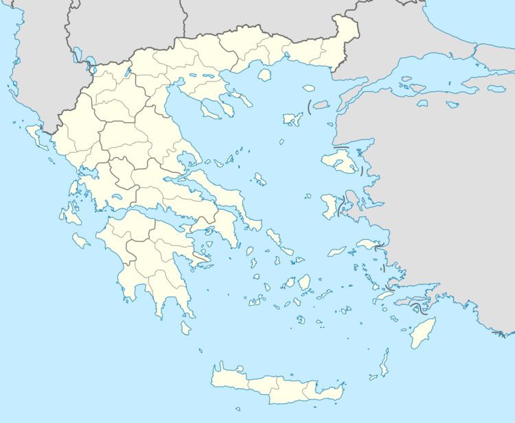
Makryneia (Greek: Μακρυνεία) is a former municipality in Aetolia-Acarnania, West Greece, Greece. Since the 2011 local government reform it is part of the municipality Agrinio, of which it is a municipal unit. The municipal unit has an area of 149.687 km2. Population 3,681 (2011). The seat of the municipality was in Gavalou. The municipal unit is located south and southeast of Lake Trichonida, and northwest of the mountain Arakynthos. There are farmlands near the lake shore, and forests on the mountain slopes. Makryneia is southeast of Agrinio, northeast of Missolonghi and northwest of Naupactus.
Contents
Map of Makryneia 300 15, Greece
Subdivisions
The municipal unit Makryneia is subdivided into the following communities (constituent villages in brackets):
References
Makryneia Wikipedia(Text) CC BY-SA