District Vizianagaram PIN 535 547 Elevation 123 m Area code 08964 | Time zone IST (UTC+5:30) Telephone code 08964 Local time Sunday 3:10 AM | |
 | ||
Weather 24°C, Wind NE at 0 km/h, 86% Humidity | ||
Makkuva is a village in Vizianagaram district of the Indian state of Andhra Pradesh.
Contents
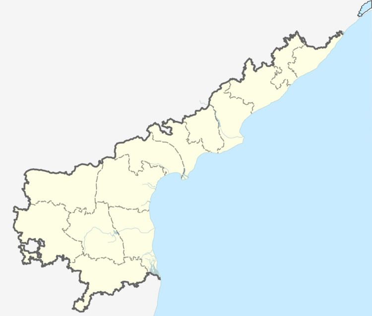
Map of Makkuva, Andhra Pradesh 535547
Geography
Makkuva is located at 18.6667°N 83.2667°E / 18.6667; 83.2667. It has an average elevation of 123 meters (406 feet).
Demography
Makkuva mandal has a population of about 60,000 in 2007. Males consists of 33,000 and females 27,000 of the population. The average literacy rate is 48%, below the national average of 59.5%. Male literacy rate is 61% and that of females 35%.
References
Makkuva Wikipedia(Text) CC BY-SA
