Country India District Mahaboob Nagar PIN 509208 Elevation 340 m | State Telangana Time zone IST (UTC+5:30) Vehicle registration TS 06 Local time Sunday 2:19 AM | |
 | ||
Weather 27°C, Wind NE at 8 km/h, 31% Humidity Neighborhoods Azad Nagar, Basaveshwara Colony, Keshava Nagar, Minority Colony, Khazipura, Chathra Pathi Nagar | ||
Makthal is a Mandal in Mahbubnagar district, Telangana. It is also an Assembly Constituency in Telangana Legislative Assembly.
Contents
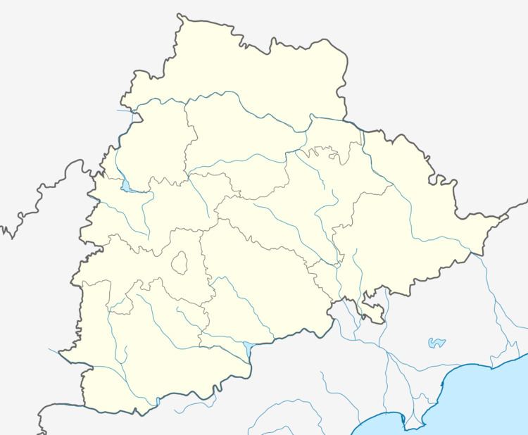
Map of Makthal, Telangana 509208
Geography
Makhtal is located at 16.5000°N 77.5167°E / 16.5000; 77.5167. It has an average elevation of 340 metres (1118 ft).
Demography
According to The Imperial Gazetteer of India, Makhtal in 1901 was a taluk in Mahbubnagar district, Hyderabad State. It covers an area of 511 square miles. The population, spread over 120 villages, was 69,560, compared with 68,031 in 1891. The taluk headquarters Makhtal had a population of 4,476. in 1905, the taluk was enlarged by the addition of some villages from Narayanpet, but lost 31 villages to Yadgir in Gulbarga district. It has the famous temple called "Padamati Anjaneyya Swamy Temple" where god's statue stands in air without any support.Here is a famous temple Sri dattatreya swamy (kurumgadda & vallabapuram) which is located at paspula village near to makthal(15 km)
Companies & Industries
1.Surya Jyothi spinning Mills (Cotton Industry),Narayanpet Road, Makthal.
2.Supreme Group of Companies (Marketing Company),Raichur Road, Makthal.
3.Star Industries(Rice Mill),Behind Nehru Gunj,Makthal.
4.Star Fuels,NH-167,Raichur Road,Makthal.
5.Star Traders, Raichur Road, Makthal.
