
Area code(s) +53-43 Founded 1906 Local time Saturday 11:56 AM | Time zone EST (UTC-5) Area 544 km² Elevation 110 m Population 26,617 (2004) | |
 | ||
Weather 24°C, Wind NE at 24 km/h, 62% Humidity | ||
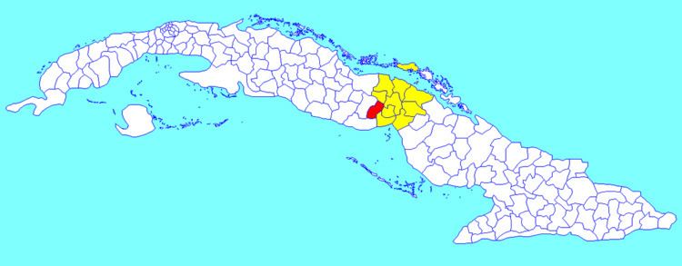
Majagua ([maˈxaɣwa]) is a municipality and town in the Ciego de Ávila Province of Cuba. It is located in the eastern part of the province, and is bisected by the Carretera Central highway.
Contents
Map of Majagua, Cuba
Geography
In addition to the main town, the municipality includes the villages Guayacanes, Jicotea, Las Coloradas, and La Calera.
Demographics
In 2004, the municipality of Majagua had a population of 26,617. With a total area of 544 km2 (210 sq mi), it has a population density of 48.9/km2 (127/sq mi).
References
Majagua, Cuba Wikipedia(Text) CC BY-SA