
Population 5,277 (2006) Southwest Sunset North North Murrays Bay Northwest Pinehill, New Zealand | Northeast (Hauraki Gulf) South Campbells Bay Southeast Campbells Bay | |
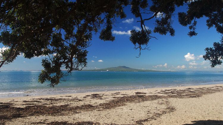 | ||
Mairangi Bay, a suburb on the North Shore, lies across the Waitemata Harbour from Auckland in New Zealand.
Contents
Map of Mairangi Bay, Auckland 0630, New Zealand
Mairangi Bay came under the local governance of the North Shore City Council until subsumed into the Auckland Council in 2010. The population was 5,277 in the 2006 Census, an increase of 501 from 2001.
The Bay's beach itself has, along with adjacent Murrays and Campbells Bays, undergone civil works projects since 2004 to improve stormwater management.
Education
Mairangi Bay School and St John's School are coeducational contributing primary (years 1-6) schools with decile ratings of 10 and rolls of 403 and 315, respectively. Mairangi Bay School was founded in 1967. St John's is a state integrated Catholic School, which was founded in 1961.
Rangitoto College is a large secondary school in Windsor Park, to the west of Mairangi Bay.