
Length 147.5 km | ||
 | ||
Existed: 1964 (current alignment) – present Counties | ||
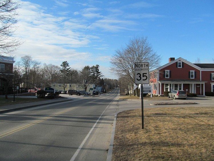
Maine State Route 35 runs the course of western Maine, from Bethel to Kennebunk. It passes through Oxford, Cumberland and York Counties. It is known in its lower sections for both its unusually windy course as well as its notoriously poor paving, as a result of winter frost heaves. Its northern section leads to the famous ski resort, Sunday River. The route crosses the Presumpscot River and a well-preserved section of the Cumberland and Oxford Canal approximately one mile west of U.S. Route 302 in North Windham.
Map of ME-35, Maine, USA
There is currently a state of confusion regarding where exactly Route 35 exists between the junction at Hunt's Corner Road and Route 5, and the town of Bethel. Historically, Route 35 leaves Route 5 at this point and takes a more easterly route toward Bethel, ending up being signed as Vernon St at the junction of Main Street in Bethel. Current (2006) maps from the American Automobile Association and Mapquest still show this route as Route 35. However, in reality, as of July 4, 2006 Route 5 is signed as both Routes 5 and 35 all the way to U.S. Route 2 in Bethel. The question of when the "old" Route 35 was switched to follow Route 5 is an open issue. Personal experience from November 1, 2004 indicated that the "old" Route 35 was barely being maintained, so one could speculate that the decision to realign this state route to double up with Route 5 happened roughly near this time.