
Existed: 1925 – present Length 7.5 km | Constructed 1925 | |
 | ||
North end: Cotton Brook Road in Dover-Foxcroft | ||
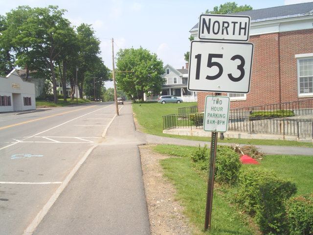
State Route 153 is part of Maine's system of numbered state highways. It runs 4.66 miles (7.50 km) from an intersection with State Route 16 to an intersection with Smith Lane near Sebec Lake in Dover-Foxcroft. The route is also known as Greeley's Landing Road.
Contents
Map of ME-153, Dover-Foxcroft, ME 04426, USA
Route description
Route 153 begins at its southern terminus in Dover-Foxcroft at an intersection with Route 16. It then heads north for just less than 5 miles (8.0 km) and ends at intersection with Cotton Brook Road south of Sebec Lake.
Junction list
The entire route is in Dover-Foxcroft, Piscataquis County.
References
Maine State Route 153 Wikipedia(Text) CC BY-SA