
OS grid reference SU7288 Dialling code 01491 | Sovereign state United Kingdom Postcode district RG9 | |
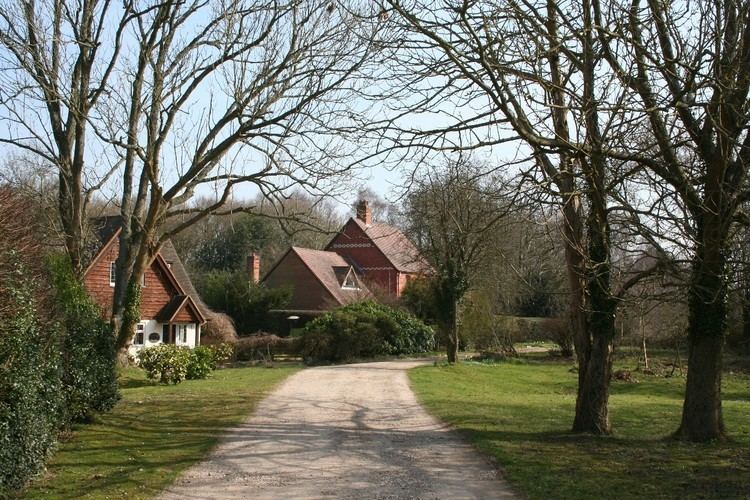 | ||
Maidensgrove is a hamlet above the Stonor valley in the Chiltern Hills, adjacent to Russell's Water common. It is about 5 miles (8.0 km) northwest of Henley-on-Thames in South Oxfordshire, England.
Map of Maidensgrove, Henley-on-Thames, UK
There is a 16th-century public house called The Five Horseshoes at nearby Upper Maidensgrove. The Chiltern Way and Oxfordshire Way long distance paths pass close by and the Warburg Nature Reserve is to the south.
References
Maidensgrove Wikipedia(Text) CC BY-SA