
Country Thailand Time zone THA (UTC+7) Geocode 9408 Population 11,269 (2005) | Seat Sai Thong Postal code 94220 Area 55.2 km² Province Pattani Province | |
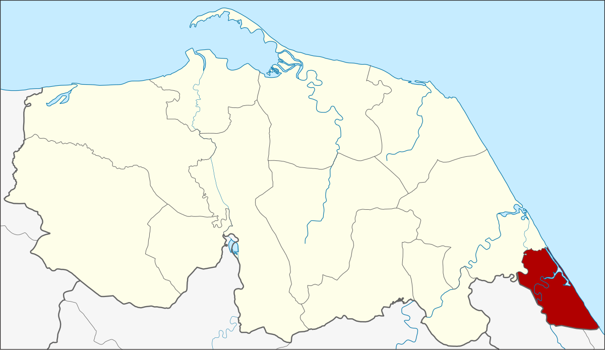 | ||
Mai Kaen (Thai: ไม้แก่น) is the southeasternmost district (Amphoe) of Pattani Province, southern Thailand.
Contents
Map of Mai Kaen District, Pattani, Thailand
History
The minor district (king amphoe) Mae Kaen was formed on November 15, 1973 by splitting the two tambon Sai Thong and Mai Kaen from Sai Buri district. On July 4, 1994 it was upgraded to a full district.
Geography
Neighboring districts are (from the south clockwise) Mueang Narathiwat and Bacho of Narathiwat Province and Sai Buri of Pattani Province. To the east is the Gulf of Thailand.
Administration
The district is subdivided into 4 subdistricts (tambon), which are further subdivided into 17 villages (muban). There are no municipal (thesaban) areas, and 3 Tambon administrative organizations (TAO).
References
Mai Kaen District Wikipedia(Text) CC BY-SA