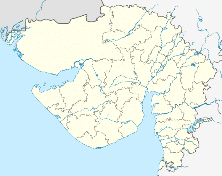
Vehicle registration GJ Population 15,780 (2001) | Time zone IST (UTC+5:30) Elevation 37 m Local time Saturday 3:07 PM | |
 | ||
Weather 36°C, Wind W at 18 km/h, 21% Humidity | ||
Latif of mahudha gujarat funny
Mahudha is a municipality in Kheda district in the Indian state of Gujarat.
Contents
- Latif of mahudha gujarat funny
- Map of Mahudha Gujarat 387335
- Yog baba mahudha
- Geography
- Demographics
- Religions
- References
Map of Mahudha, Gujarat 387335
Mahudha is about 25 kilometres away (SE) from the pilgrim town of Dakor. The nearest city, Nadiad, is 16 kilometres south west.
Yog baba mahudha
Geography
Mahudha is located at 22.82°N 72.93°E / 22.82; 72.93. It has an average elevation of 37 metres (121 feet).
Demographics
At the 2001 India census, Mahudha had a population of 15,780. Males constitute 52% of the population and females 48%. Mahudha has an average literacy rate of 69%, higher than the national average of 59.5%: male literacy is 78%, and female literacy is 59%. In Mahudha, 11% of the population is under 6 years of age.
Religions
Most of Muslims and Hindus, very few Christian.
References
Mahudha Wikipedia(Text) CC BY-SA
