
PIN 284405 Elevation 365 m Local time Saturday 2:59 PM | Time zone IST (UTC+5:30) Vehicle registration UP Population 8,647 (2001) | |
 | ||
Weather 32°C, Wind NW at 6 km/h, 22% Humidity | ||
Mahroni is a town and a nagar panchayat in Lalitpur district in the Indian state of Uttar Pradesh. It is one of the tehsils of Lalitpur District, and is situated 37 km away from Laitpur. It is very close to Madhya Pradesh and Uttar Pradesh border.
Contents
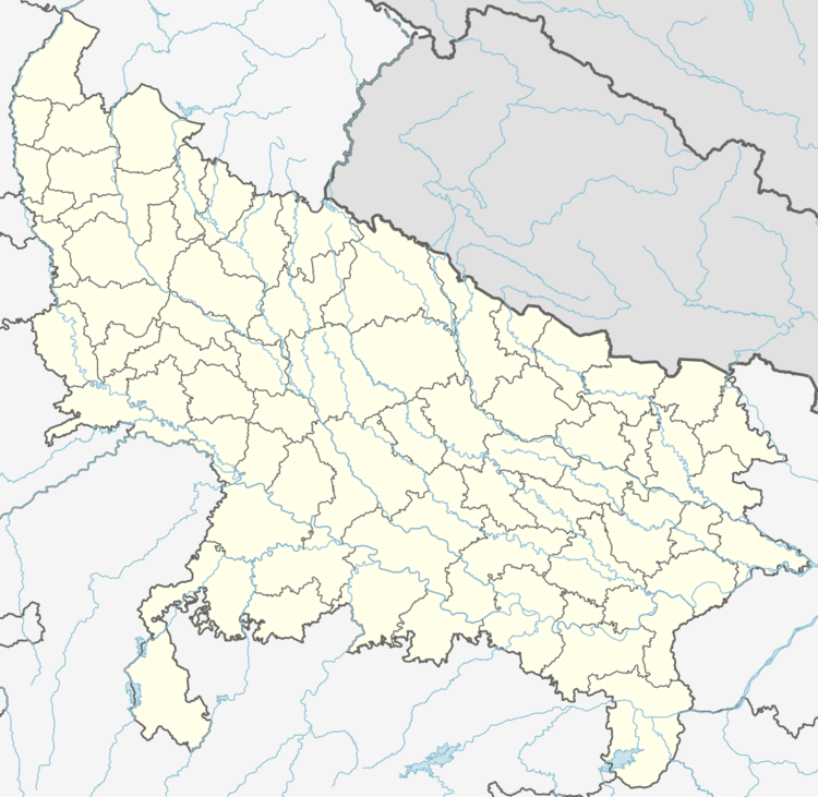
Map of Mahrauni, Uttar Pradesh 284405
Geography
Mahroni ( PIN 284405, STD CODE 05172 ) is a tehsil of Lalitpur Distt.It is about 37 km. from Lalitpur and 21 km from Tikamgarh(one of the 48 districts of Madhya Pradesh). The nearest railway station is the Tikamgarh Station. Mahroni near about 14 km from Kundeswar Mahadev temple important pilgrim Hindu religion.
Demographics
As of 2001 India census, Mahroni had a population of 8647. Males constitute 53% of the population and females 47%. Mahroni has an average literacy rate of 67%, higher than the national average of 59.5%: male literacy is 76%, and female literacy is 56%. In Mahroni, 16% of the population is under 6 years of age.
Feran Lal is the sitting MLA[BSP] from Mahroni who defeated Mannu Kori with the leading score in last assembly elections. It is assumed that this area most backward area of bundelkhand region but this sitting MLA hoply seems to be working a lot in area of development, education, integrity, and social welfare.