
Country India District Ranga Reddy Time zone IST (UTC+5:30) Elevation 221 m | Talukas Narsampet PIN 501359 Local time Saturday 12:56 PM | |
 | ||
Weather 36°C, Wind W at 5 km/h, 29% Humidity | ||
Ktr tsiic land visit at hardware it park maheshwaram hybiz tv
Maheswaram is a village n mandal in RangaReddi district in the state of Telangana in India.
Contents
- Ktr tsiic land visit at hardware it park maheshwaram hybiz tv
- Map of Maheshwaram Telangana
- Shiva ganga temple in water near maheshwaram rr dist
- Geography
- Election Information
- History
- References
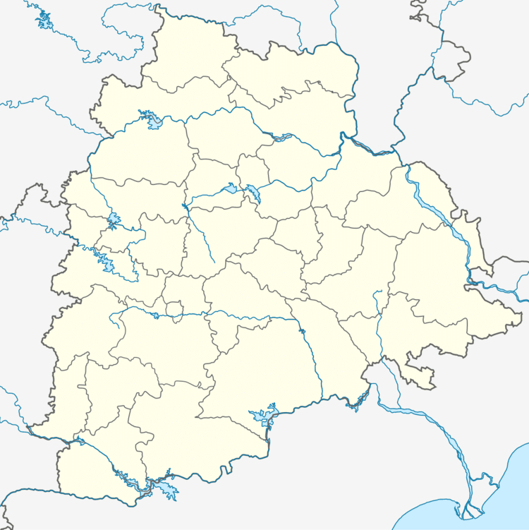
Map of Maheshwaram, Telangana
Shiva ganga temple in water near maheshwaram rr dist
Geography
Maheshwaram (Telugu: మహేశ్వరం) is located at 17° 55'0N 79° 54' 0E. It has average altitude of 221 meters. Maheshwaram is Major village Panchayath consisting of 3000 to 5000 people. Primary Occupation is Agriculrure, there are other occupations also like fishing, Toddy tapping, sheppards, carpenters etc...
Maheswaram contains 3 ponds naming Maheswaram cheruvu, panjeruvu, veramma kunta.
Village agriculture mainly depends on rain water and ground water. The main crops cultivated are paddy, cotton, corn, chilly, turmeric, ground nut etc...
Election Information
History
There is a famous shivaganga temple of four hundred years old.The name Maheshwaram came from this. The Qutb Shahi mosque is of great craftmenship and is the grand mosque of Maheshwaram region.