Trisha Shetty (Editor)

Mahalangur Himal

Updated on
Edit
Like
Comment
Share on FacebookTweet on TwitterShare on LinkedInShare on Reddit
Length
  
80 km (50 mi) ESE

Countries
  
Highest point
  
Elevation
  
8,848 m (29,029 ft)

Width
  
65 km (40 mi) NNE

Area
  
5,200 km²

Parent range
  
Mahalangur Himal Mahalangur Himal Wikipedia

Districts
  
Solukhumbu District, Sankhuwasabha district and Tingri County

Mountains
  
Mount Everest, Lhotse, Makalu, Cho Oyu, Nuptse

Similar
  

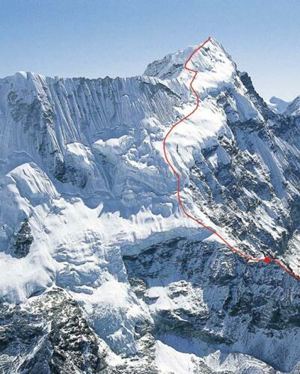
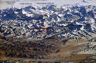
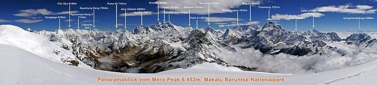
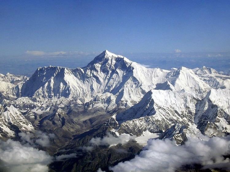
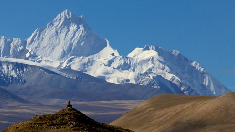
Mahālangūr Himāl (Nepali: महालङ्गूर हिमाल) is a section of the Himalayas in northeast Nepal and south-central Tibet (China) extending east from the pass Nangpa La between Rolwaling Himal and Cho Oyu, to the Arun River. It includes Mount Everest, Lhotse, Makalu, and Cho Oyu — four of Earth's six highest peaks. On the Tibetan side it is drained by the Rongbuk and Kangshung Glaciers and on the Nepali side by Barun, Ngojumba and Khumbu Glaciers and others. All are tributaries to the Koshi River via Arun River on the north and east or Dudh Kosi on the south.

Mahalangur Himal Mountains Located in Mahalangur Himal Mountain Range Climbolt

Mahalangur Himal can be divided into three subsections:

  • Makālu (Nepali: मकालु) nearest the Arun River and along the Nepal-China border including Makalu 8463m, Chomo Lonzo 7790m south of the Kama valley in Tibet, Kangchungtse or Makalu II 7678m, Peak 7199 and some ten others over 6000 metres.
  • Barun (Nepali: बरुण) inside Nepal and south of the Makālu section. It includes Chamlang 7319m and Chamlang East 7235m, Peak 7316, Baruntse 7129m, Ama Dablam 6812m and about 17 others over 6000 metres.
  • Khumbu (Nepali: खुम्बु) along the international border west of the Makalu section, Including the Everest massif: Everest 8848m, Lhotse 8516m, Nuptse 7855m and Changtse 7580m. West of Everest are Pumori 7161m and Cho Oyu 8201m plus some 20 others over 7000 metres and 36 over 6000 metres.

  • Mahalangur Himal Mahalangur Himal Jos Rambaud Flickr

    The Khumbu region of Nepal is the best known populated part of the Mahalangurs since it is on the access trail to the normal (South Col) route up Everest.

    Mahalangur Himal wwwculturaltrekscomassetsimagesNepal20Expedi
    Mahalangur Himal Mahalangur Himal Wikipedia

    References

    Mahalangur Himal Wikipedia


    Similar TopicsChangtse
    Cho Oyu
    Lhotse