
 | ||
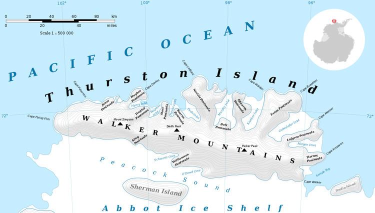
Mahaffey Glacier (72°18′S 96°26′W) is a glacier flowing into the head of Morgan Inlet at the east end of Thurston Island, Antarctica. It was named by the Advisory Committee on Antarctic Names after J.S. Mahaffey, a Photographer's Mate in the Eastern Group of U.S. Navy Operation Highjump, which obtained aerial photographs of Thurston Island and adjacent coastal areas in 1946–47.
Contents
Map of Mahaffey Glacier, Antarctica
Maps
References
Mahaffey Glacier Wikipedia(Text) CC BY-SA