
District Mananjary Elevation 6 m Population 23,000 (2001) | Region Vatovavy-Fitovinany Time zone EAT (UTC3) Local time Saturday 7:57 AM | |
 | ||
Weather 24°C, Wind W at 5 km/h, 98% Humidity | ||
Mahaela nodine and blades of silver usdf training 2 nawd
Mahaela is a town and commune in Madagascar. It belongs to the district of Mananjary, which is a part of Vatovavy-Fitovinany Region. The population of the commune was estimated to be approximately 23,000 in 2001 commune census.
Contents
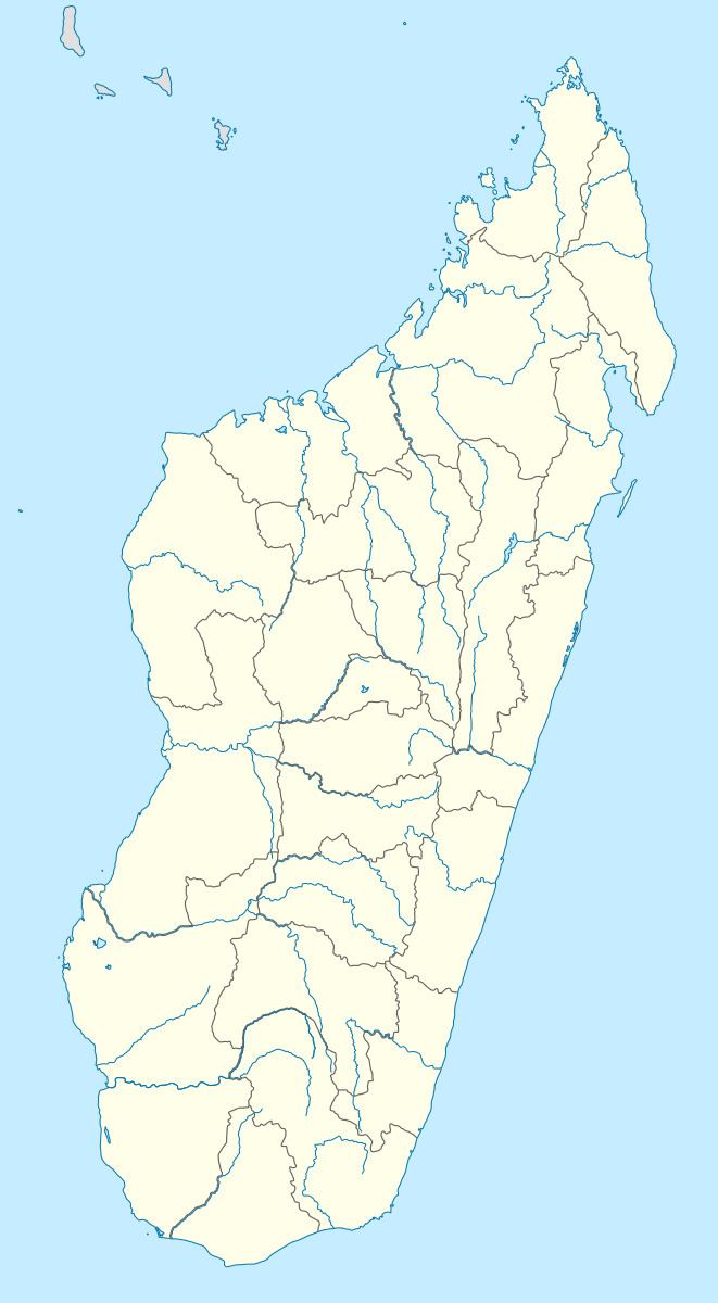
Map of Mahela, Madagascar
Primary and junior level secondary education are available in town. The majority 95% of the population of the commune are farmers. The most important crop is rice, while other important products are sugarcane, coconuts and cassava. Services provide employment for 1% of the population. Additionally fishing employs 4% of the population.
References
Mahaela Wikipedia(Text) CC BY-SA