
Area 406.5 km² | Time zone BST (UTC+6) | |
 | ||
Website Official Map of Magura Sadar | ||
Magura Sadar (Bengali: মাগুরা সদর) is an Upazila of Magura District in the Division of Khulna, Bangladesh.
Contents
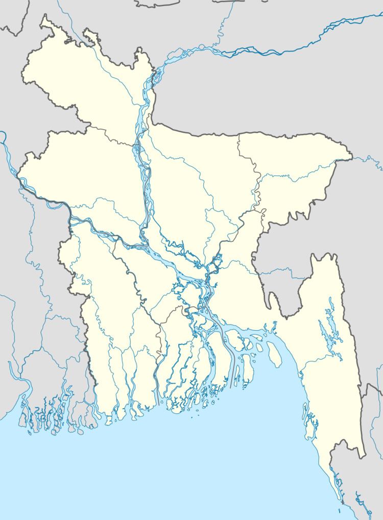
Map of Magura Sadar Upazila, Bangladesh
Geography
Magura Sadar is located at 23.4875°N 89.4208°E / 23.4875; 89.4208. It has 50,041 households and a total area of 406.5 km².
Demographics
According to the 1991 Bangladesh census, Magura Sadar had a population of 286925. Males constituted 51.41% of the population, and females 48.59%. The population aged 18 or over was 145,777. Magura Sadar had an average literacy rate of 29.6% (7+ years), compared to the national average of 32.4%.
Administration
Magura Sadar has 13 Unions, 263 Mauzas/Mahallas, and 252 villages.
References
Magura Sadar Upazila Wikipedia(Text) CC BY-SA