
Country Philippines District 1st District Time zone PST (UTC+8) Area 84.98 km² Province Ilocos Sur | Region Ilocos (Region I) Barangays ZIP code 2730 Local time Saturday 11:55 AM | |
 | ||
Weather 32°C, Wind W at 11 km/h, 51% Humidity | ||
Bp puro island sa magsingal ilocos sur pwedeng pasyalan ngayong tag init
Magsingal is a third class municipality in the province of Ilocos Sur, Philippines. According to the 2015 census, it has a population of 30,792 people.
Contents
- Bp puro island sa magsingal ilocos sur pwedeng pasyalan ngayong tag init
- Map of Magsingal Ilocos Sur Philippines
- Barangays
- History
- Demographics
- Major Schools in Magsingal
- References
Map of Magsingal, Ilocos Sur, Philippines
Barangays
Magsingal is politically subdivided into 30 barangays.
History
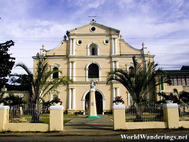
The name of the municipality came from the term "Mayisingal," an Ilocano term which means "to be moved." It was applied when the belltower was moved from a previous location to its current site.
Captain Juan de Salcedo had a hand in founding the municipality. But before he reached the current site of the poblacion, he came to a village called Malongon, about one-half kilometer to the south. The leader of the village refused Salcedo's request to establish a municipality there, but suggested that he establish the town a half kilometer north of the village, and the belltower be moved to that site, hence the origin of the town's name.
Itnegs were the original inhabitants of the place when Salcedo arrived. He worked for the conversion of the people to Christianity, but not all accepted the new faith. Those who refused conversion fled the town and settled east of Bantay Bul-lagaw (Bul-lagaw Mountain).
Demographics
In the 2015 census, the population of Magsingal was 30,792 people, with a density of 360 inhabitants per square kilometre or 930 inhabitants per square mile.