Affiliation Agricultural Union Founded by Demobbed IDF soldiers Local time Saturday 5:54 AM | Founded 1949 Population (2015) 1,064 | |
 | ||
Weather 13°C, Wind W at 11 km/h, 69% Humidity | ||
Golan heights israel road 98 from ma agan to magshimim junction 98
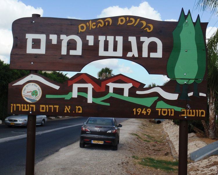
Magshimim (Hebrew: מַגְשִׁימִים, lit. Dream fulfillers) is a moshav in central Israel. Located near Yehud, it falls under the jurisdiction of Drom HaSharon Regional Council. In 2015 it had a population of 1,064.
Contents
- Golan heights israel road 98 from ma agan to magshimim junction 98
- Map of Magshimim Israel
- History
- Economy
- References
Map of Magshimim, Israel
History
The moshav was formed in 1949 by demobilised IDF soldiers. They were later joined by other Israelis and immigrants from Poland.
Economy
Amongst other things, the moshav's economy is built on flower exports and manufacturing printers.
References
Magshimim Wikipedia(Text) CC BY-SA
